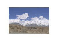
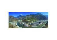
Qinling Mountains span over 1,500 km long,
and ten to 200,000 or 300,000 km wide from south to north. They are majestic and
grandiose. Qinling Mountains, in the narrow sense, refer to the middle section of
the Qinling Range, a portion of the every mountain in central Shaanxi province.
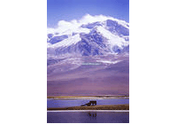
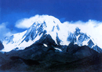
Mount Taibai, at an elevation of 3,767 m, is the highest peak of Qinling Mountains.
It has been a famous mount since ancient times. Snow-capped Taibai peak in June
is one of the eight renowned Chang'an (today's Xi'an) sights. Another high mountain
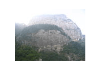
in Qinling, Mount Huashan, though only about 2,000 m high, is very precipitous.
Hence comes the famous saying, "there is no way to Mount Huashan except a precipitious
path" and "the steepest mount in China". The five peaks, namely East Peak, West
Peak, North Peak and Middle Peak, stand like a five-petal plum flower in full blossom,
adding unique and charming scenery to Mount Huashan.
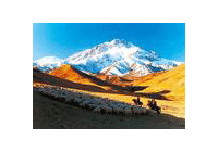
Qinling Mountains stand like a huge wall blocking the wind in the hinterland of
China. In winter, they stop the northwest wind from blowing southward, reducing
the cold waves influence on the south of China; in summer, they intercept the vapor
brought by the southeast wind, reducing precipitation in the north areas. Therfore,
Qinling Mountains serve as a natural dividing line between the drainage areas of
Yangtze River and Yellow River.
Previous Next